

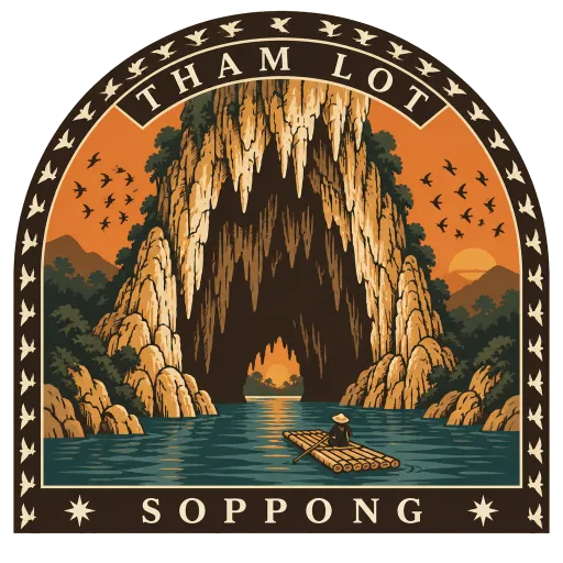
Tham Lot
A limestone cave near Soppong in Mae Hong Son, 1,666 metres long, with the Nam Lang river flowing right through it past stalactites, columns and flowstone. Its chambers hold ancient teak coffins, and swiftlets and bats stream in and out at dusk.
- Where
- Soppong, Mae Hong Son, Thailand
- Grade
- Local gem
- Worth
- 10 points collected on site
- Coordinates
- 19.5719, 98.2772
Get the Tham Lot stamp
Open LOQAH when you are at Tham Lot. It checks where you are once, at that moment, and the stamp is yours: confirmed on site in gold and struck with the date. It goes into your Mae Hong Son volume with your photos and a note.
Near Tham Lot
Pai 29 km
A small town on the Pai River in Mae Hong Son, about 146 kilometres from Chiang Mai along a famously winding mountain road. Its valley of rice fields, hot springs and walking streets has made it a favourite stop for backpackers.
Pang Ung 39 km
A freshwater lake ringed by pine forest in the hills of Mueang Mae Hong Son district, near the Burmese border. On cold-season mornings mist lies over the water, and Thai visitors have long called it the Switzerland of Thailand.
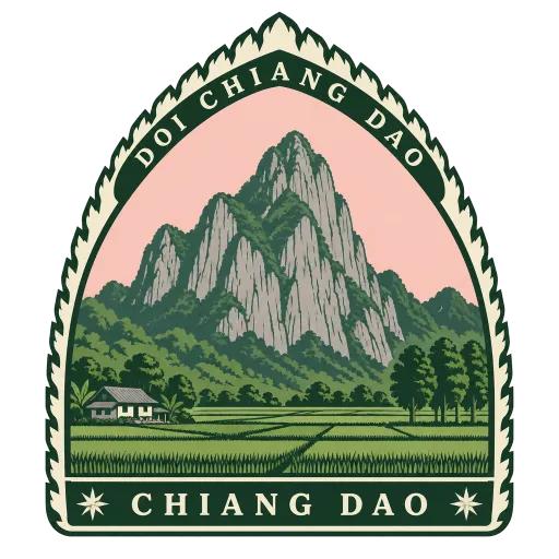
Doi Chiang Dao 66 km
A 2,175 metre limestone peak in Chiang Dao district, north of Chiang Mai, and one of the highest in the Daen Lao range on the Thai side of the border. Its sheer, lone summit rises high above the farmland of the valley below.
Elephant Nature Park 73 km
A sanctuary and rescue centre for elephants in Mae Taeng district, about 60 km from Chiang Mai, co-founded by Sangduen 'Lek' Chailert. Rescued elephants live here in small herds, and visitors watch them feed and bathe in the river rather than ride them.
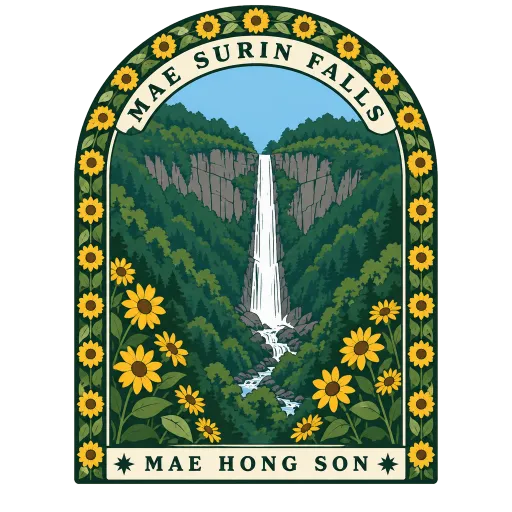
Mae Surin Falls 74 km
A waterfall in the forested mountains of Mae Hong Son, close to the Myanmar border, that gives its name to the national park around it. The water drops in a long fall from a cliff edge into the valley below.
Doi Ang Khang 88 km
A 1,928 metre mountain in Fang district close to the Burmese border, home to the first royal agricultural research station, set up by King Bhumibol in 1969. Its cool slopes are planted with temperate fruit, flowers and vegetables.
Bua Tong Waterfall 101 km
A limestone waterfall in Mae Taeng district, north of Chiang Mai, where mineral deposits have made the rock rough and grippy rather than slippery. People walk straight up the falling water barefoot, which gives it its nickname.
Wat Phra That Doi Suthep 109 km
A golden chedi on the mountain above Chiang Mai, at 1,073 metres, reached by a long staircase lined with naga serpents. Legend says a white elephant carrying a relic of the Buddha climbed this mountain and chose the spot, and the city spreads out below the terrace.






More hidden gems in Mae Hong Son
Questions
Where is Tham Lot?
Tham Lot is in Soppong, Mae Hong Son, Thailand. The nearest other LOQAH stamps are Pai (29 km), Pang Ung (39 km), Doi Chiang Dao (66 km).
How do I get the Tham Lot stamp?
Open LOQAH when you are at Tham Lot and get its stamp. The app checks where you are once, at that moment, and the stamp goes into your Mae Hong Son volume, confirmed on site, with the date.
I have been to Tham Lot before. Can I still have the stamp?
Yes. Add it from Earlier trips in your Mae Hong Son volume, with the date if you know it, or import your Google Timeline and LOQAH matches the places you were.
Collect your first stamp.
LOQAH is free on iPhone and Android, in India and 20 more countries, with more countries on the way. Stand at a place, collect its stamp, and keep every trip in a passport that grows.