
Mont Blanc
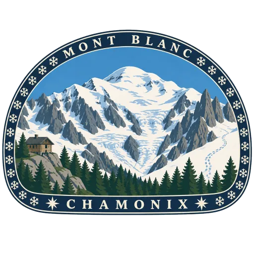
The highest mountain in the Alps at about 4,807 metres, its snow dome on the border between France and Italy. It rises above Chamonix, and the climb to the top usually takes two days, with a night in a mountain hut.
- Where
- Chamonix, Auvergne-Rhône-Alpes, France
- Grade
- Well known
- Worth
- 10 points collected on site, plus 1 for its grade
- Coordinates
- 45.8328, 6.8650
Get the Mont Blanc stamp
Open LOQAH when you are at Mont Blanc. It checks where you are once, at that moment, and the stamp is yours: confirmed on site in gold and struck with the date. It goes into your Auvergne-Rhône-Alpes volume with your photos and a note.
Near Mont Blanc
Aiguille du Midi 5.4 km
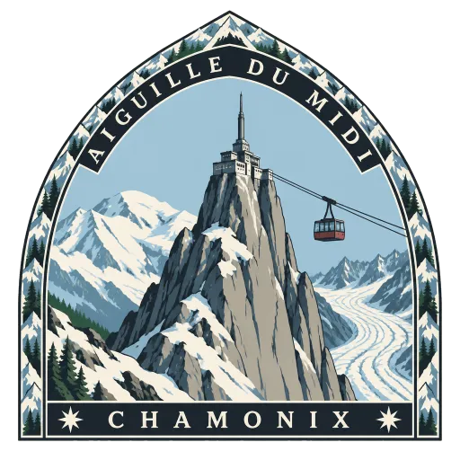
A granite needle of 3,842 metres in the Mont Blanc massif, reached by cable car straight from Chamonix. The top station has terraces facing Mont Blanc and a glass box, the Step into the Void, hanging over a sheer drop.
Skyway Monte Bianco 7.3 km
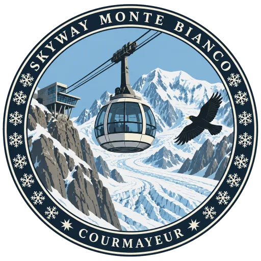
A cable car that climbs from Entrèves, near Courmayeur, to Pointe Helbronner on the southern side of the Mont Blanc massif. Opened in 2015, its cabins turn slowly as they rise, giving a full circle of glaciers and peaks on the way up.
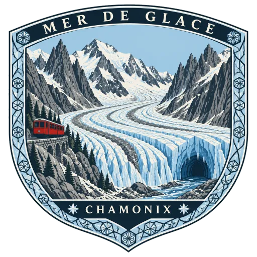
Mer de Glace 11 km
The longest glacier in France, a river of ice 7.5 kilometres long on the northern slopes of the Mont Blanc massif. A rack railway climbs from Chamonix to Montenvers above it, and an ice cave is cut into the glacier each year for visitors to walk through.
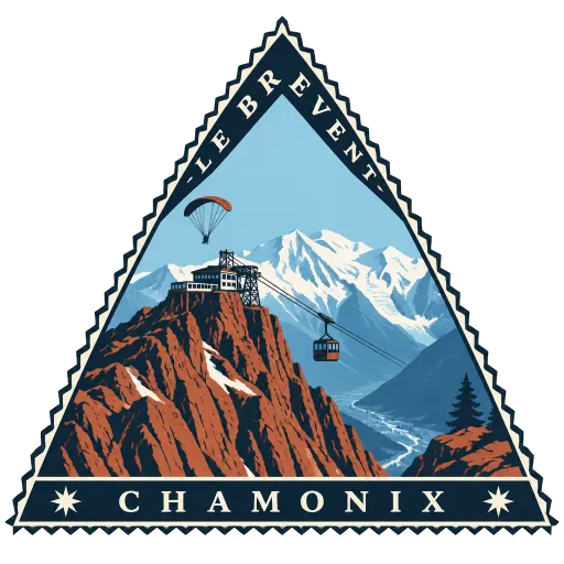
Le Brévent 11 km
A 2,525 metre summit in the Aiguilles Rouges, facing Mont Blanc across the Chamonix valley. Cable cars run to the top, and its cliffs are a launching point for paragliders and wingsuit flyers dropping towards the valley.
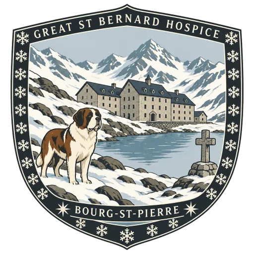
Great St Bernard Hospice 24 km
A hospice and hostel for travellers on the Great St Bernard Pass, named after its founder Bernard of Menthon and kept by a community of canons regular ever since. It is the home of the St Bernard dogs, bred here to help find travellers lost in the snow.
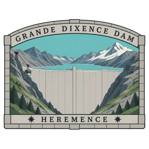
Grande Dixence Dam 50 km
A concrete wall 285 metres high at the head of the Val d'Hérémence, the tallest gravity dam in the world and the tallest dam in Europe. It holds back the Lac des Dix, whose water feeds four power stations of the Cleuson-Dixence scheme.
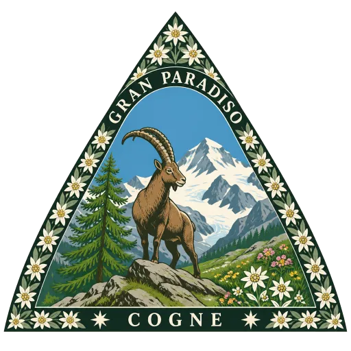
Gran Paradiso National Park 50 km
A national park in the Graian Alps, spread across the Aosta Valley and Piedmont around the Gran Paradiso mountain. It began as a royal hunting ground of King Victor Emmanuel II, protected to save the Alpine ibex from poachers, and ibex still graze its high slopes.
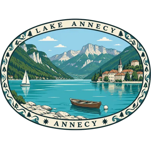
Lake Annecy 54 km
An Alpine lake in Haute-Savoie, ringed by mountains and clear enough for swimming in summer. The city of Annecy sits at its northern tip, where the lake drains away through the Thiou river and the canals of the old town.
More famous places to visit in Auvergne-Rhône-Alpes
Questions
Where is Mont Blanc?
Mont Blanc is in Chamonix, Auvergne-Rhône-Alpes, France. The nearest other LOQAH stamps are Aiguille du Midi (5.4 km), Skyway Monte Bianco (7.3 km), Mer de Glace (11 km).
How do I get the Mont Blanc stamp?
Open LOQAH when you are at Mont Blanc and get its stamp. The app checks where you are once, at that moment, and the stamp goes into your Auvergne-Rhône-Alpes volume, confirmed on site, with the date.
I have been to Mont Blanc before. Can I still have the stamp?
Yes. Add it from Earlier trips in your Auvergne-Rhône-Alpes volume, with the date if you know it, or import your Google Timeline and LOQAH matches the places you were.
Collect your first stamp.
LOQAH is free on iPhone and Android, in India and 20 more countries, with more countries on the way. Stand at a place, collect its stamp, and keep every trip in a passport that grows.