

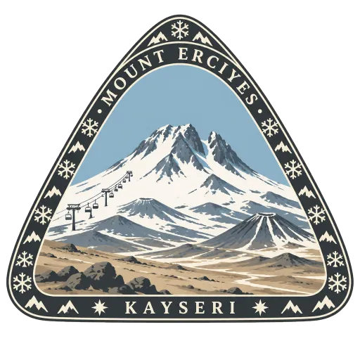
Mount Erciyes
A large inactive volcano rising above Kayseri, ringed by smaller vents and lava domes, with part of its summit long ago collapsed to the east. Its snowy upper slopes are one of Turkey's main ski areas.
- Where
- Kayseri, Kayseri, Türkiye
- Grade
- Well known
- Worth
- 10 points collected on site, plus 1 for its grade
- Coordinates
- 38.5317, 35.4500
Get the Mount Erciyes stamp
Open LOQAH when you are at Mount Erciyes. It checks where you are once, at that moment, and the stamp is yours: confirmed on site in gold and struck with the date. It goes into your Kayseri volume with your photos and a note.
Near Mount Erciyes
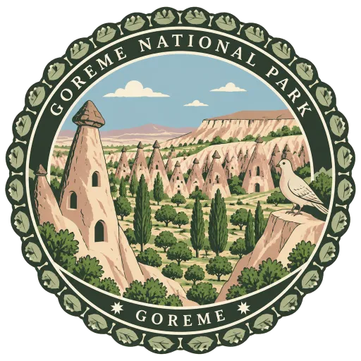
Göreme National Park 53 km
Nearly 100 square kilometres of Cappadocia's water and wind eroded valleys, fairy chimneys and rock-cut settlements. It became a UNESCO World Heritage Site in 1985 together with the rock sites of the region.
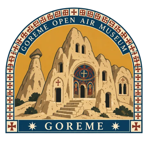
Göreme Open Air Museum 54 km
A cluster of churches, chapels and monastic rooms cut into the rock just outside Göreme. Many are painted inside with Byzantine frescoes, the best preserved in the Dark Church, where little daylight has reached them.
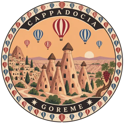
Cappadocia 55 km
A historical region of Central Anatolia whose soft volcanic rock has been worn into cones, pillars and valleys. People carved homes, churches and whole underground towns into it, and hot air balloons rise over it at dawn.
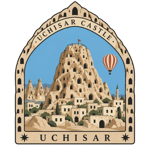
Uçhisar Castle 57 km
A tall outcrop of rock above the village of Uçhisar, honeycombed with old rooms and passages. It is one of the highest points in the area, and steps lead to a summit that looks out across the valleys of Cappadocia.
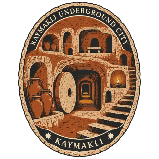
Kaymaklı Underground City 61 km
An underground settlement inside the old citadel of Kaymaklı, about 19 km from Nevşehir on the road to Niğde. Low tunnels link storerooms, stables and living spaces on several levels, and it was first opened to visitors in 1964.
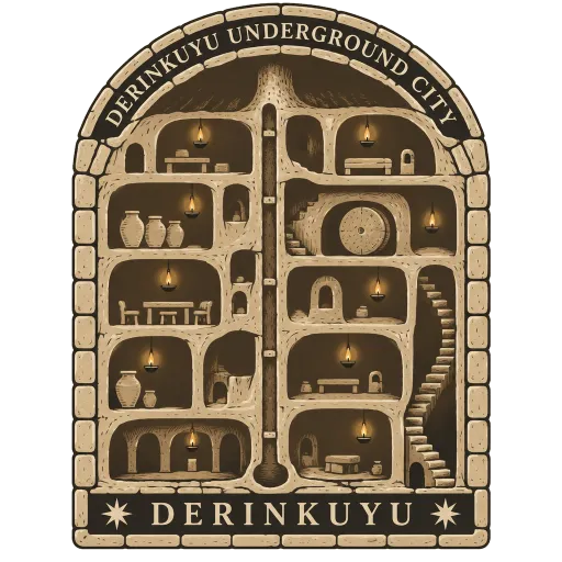
Derinkuyu Underground City 65 km
A multi-level city dug into the rock beneath the town of Derinkuyu, reaching about 85 metres down. It is the largest excavated underground city in Turkey, big enough to shelter thousands of people with their animals and food.
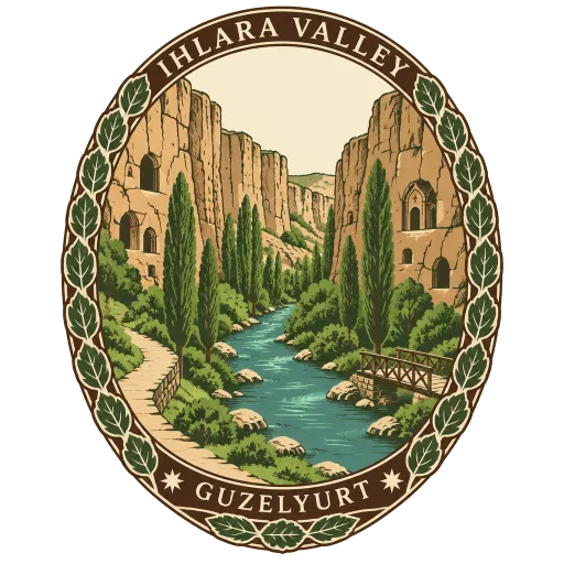
Ihlara Valley 105 km
A canyon 15 km long and up to 150 metres deep in the south-west of Cappadocia, with a river running along its floor. Its walls hold around 50 rock-hewn churches, and a path follows the water beneath them.
Hattusa 180 km
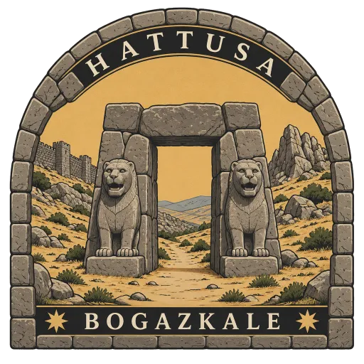
The capital of the Hittite Empire in the late Bronze Age, its ruins spread over rugged hills by the town of Boğazkale. Stone lions still guard one of the gates in its long city walls, and great temple foundations lie below.
Questions
Where is Mount Erciyes?
Mount Erciyes is in Kayseri, Kayseri, Türkiye. The nearest other LOQAH stamps are Göreme National Park (53 km), Göreme Open Air Museum (54 km), Cappadocia (55 km).
How do I get the Mount Erciyes stamp?
Open LOQAH when you are at Mount Erciyes and get its stamp. The app checks where you are once, at that moment, and the stamp goes into your Kayseri volume, confirmed on site, with the date.
I have been to Mount Erciyes before. Can I still have the stamp?
Yes. Add it from Earlier trips in your Kayseri volume, with the date if you know it, or import your Google Timeline and LOQAH matches the places you were.
Collect your first stamp.
LOQAH is free on iPhone and Android, in India and 20 more countries, with more countries on the way. Stand at a place, collect its stamp, and keep every trip in a passport that grows.