
Mu Ko Ang Thong National Marine Park
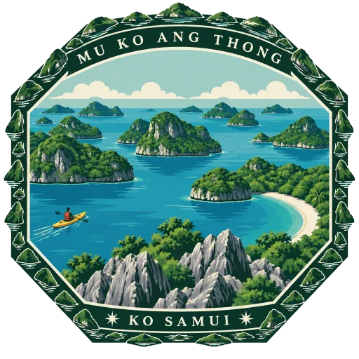
A marine park of 42 islands in the Gulf of Thailand, west of Ko Samui, set aside in 1980. Steep limestone islands rise out of clear water, and the park's base is at Ao Phi Beach on Ko Wua Talap.
- Where
- Ko Samui, Surat Thani, Thailand
- Grade
- Heritage site
- Worth
- 10 points collected on site, plus 3 for its grade
- Coordinates
- 9.6228, 99.6750
Get the Mu Ko Ang Thong National Marine Park stamp
Open LOQAH when you are at Mu Ko Ang Thong National Marine Park. It checks where you are once, at that moment, and the stamp is yours: confirmed on site in gold and struck with the date. It goes into your Surat Thani volume with your photos and a note.
Near Mu Ko Ang Thong National Marine Park
Ko Samui 38 km
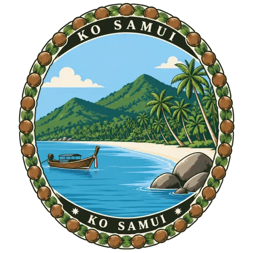
Thailand's second largest island after Phuket, 228 square kilometres of beaches, coconut groves and forested hills in the Gulf of Thailand. Millions of visitors come every year, yet it still governs itself as a municipality of its own.
Bo Phut 40 km
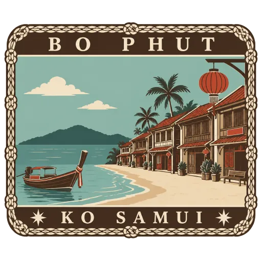
A beach and old fishing village on the north coast of Ko Samui, looking across the water towards Ko Pha-ngan. Its Fisherman's Village is a lane of old wooden Chinese shophouses, many now turned into cafes and small hotels.
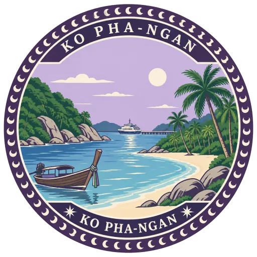
Ko Pha-ngan 41 km
The middle island of three in the Gulf of Thailand, with larger Ko Samui to the south and little Ko Tao to the north. Ferries arrive at the main town, Thong Sala, and from there roads and boats lead to coves on every side of the island.
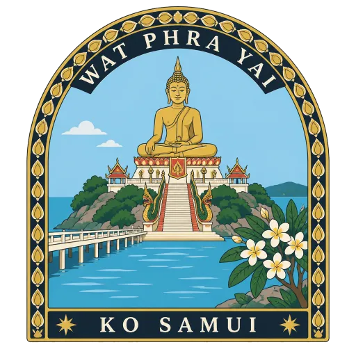
Wat Phra Yai 43 km
A wat on tiny Ko Phan, joined to Ko Samui by a short causeway, with a 12 metre gold-painted Buddha seated on top. Built in 1972, the statue has become the island's best known landmark.
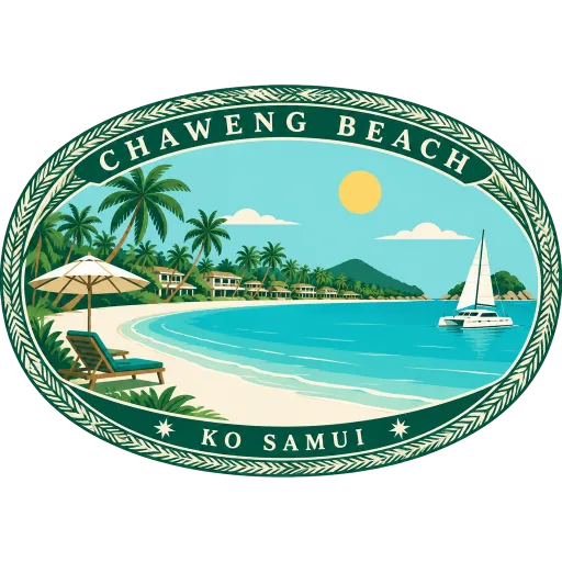
Chaweng Beach 44 km
The longest and busiest beach on Ko Samui, a broad curve of white sand along the east coast. Hotels and restaurants line the shore behind it, and the sea in front is calm and shallow for much of the year.
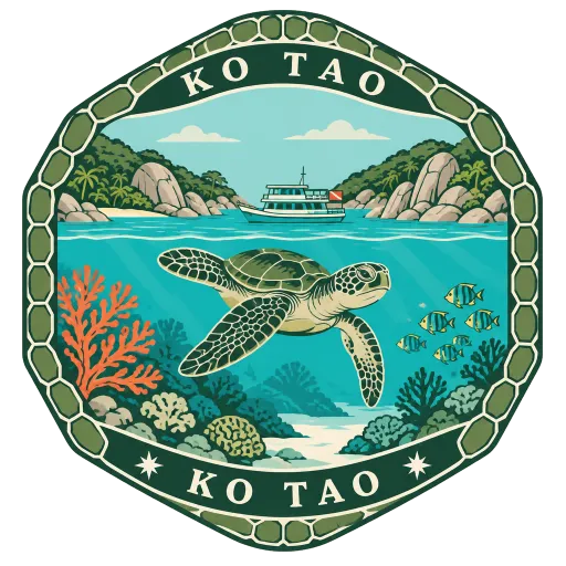
Ko Tao 55 km
A small island of about 21 square kilometres in the Gulf of Thailand, its name meaning turtle island. It is known above all for diving and snorkelling, and the ferries come in at the main settlement, Mae Haad.
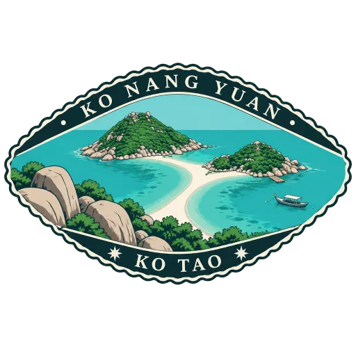
Ko Nang Yuan 57 km
Three tiny islands just off the northwest coast of Ko Tao, joined to one another by a curving sandbar. The water around them is shallow and clear, and the viewpoint on the rocks above looks down on the white strip of sand between the islands.
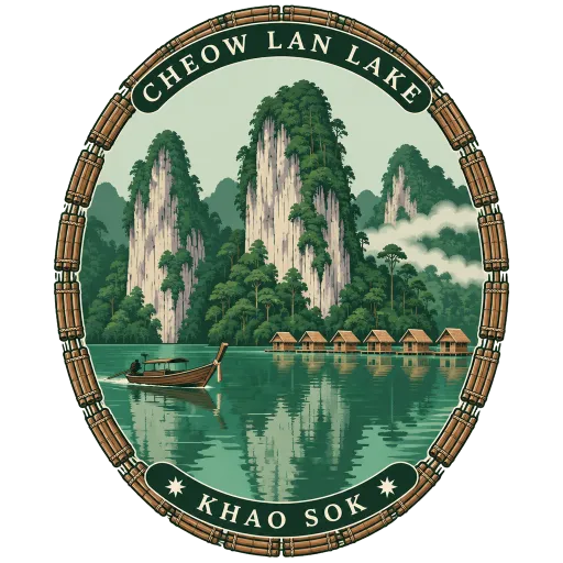
Cheow Lan Lake 121 km
A 185 square kilometre lake inside Khao Sok National Park, made in 1987 when the Rajjaprabha Dam was built across the valley. Limestone cliffs and rainforest rise straight from its green water, and some visitors stay overnight on floating rafts.
Questions
Where is Mu Ko Ang Thong National Marine Park?
Mu Ko Ang Thong National Marine Park is in Ko Samui, Surat Thani, Thailand. The nearest other LOQAH stamps are Ko Samui (38 km), Bo Phut (40 km), Ko Pha-ngan (41 km).
How do I get the Mu Ko Ang Thong National Marine Park stamp?
Open LOQAH when you are at Mu Ko Ang Thong National Marine Park and get its stamp. The app checks where you are once, at that moment, and the stamp goes into your Surat Thani volume, confirmed on site, with the date.
I have been to Mu Ko Ang Thong National Marine Park before. Can I still have the stamp?
Yes. Add it from Earlier trips in your Surat Thani volume, with the date if you know it, or import your Google Timeline and LOQAH matches the places you were.
Collect your first stamp.
LOQAH is free on iPhone and Android, in India and 20 more countries, with more countries on the way. Stand at a place, collect its stamp, and keep every trip in a passport that grows.