

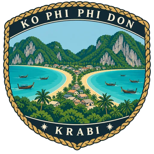
Ko Phi Phi Don
The largest island of the Phi Phi group, about 8 km long, and the only one with people living on it. Two curving bays almost meet at its narrow middle, where the village of Ton Sai sits on a low sandy neck of land.
- Where
- Krabi, Krabi, Thailand
- Grade
- Local gem
- Worth
- 10 points collected on site
- Coordinates
- 7.7443, 98.7811
Get the Ko Phi Phi Don stamp
Open LOQAH when you are at Ko Phi Phi Don. It checks where you are once, at that moment, and the stamp is yours: confirmed on site in gold and struck with the date. It goes into your Krabi volume with your photos and a note.
Near Ko Phi Phi Don
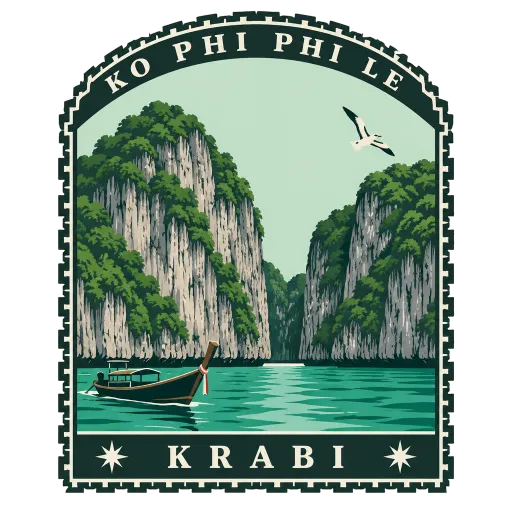
Ko Phi Phi Le 7.0 km
The smaller, uninhabited island of the Phi Phi group, almost all sheer limestone cliff rising from the Andaman Sea. It is part of a national park, and its lagoons and Maya Bay, the cove from the film The Beach, are reached only by boat.
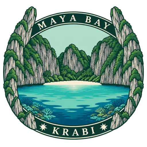
Maya Bay 7.7 km
A cove on Ko Phi Phi Le, enclosed on three sides by sheer limestone cliffs, that became world famous through the film The Beach in 2000. It lies within a national park, and its sand and reefs are now carefully protected.
Ko Jum 23 km
A quiet island about 25 kilometres south of Krabi town, with three villages and a slow pace of life. Also known as Ko Pu, it has beaches face west across the Andaman Sea.
Ko Poda 25 km
A small limestone island about 8 kilometres off Ao Nang, ringed with white sand and shallow, clear water. It is the largest of the Poda group, with Ko Kai, Ko Mo and Ko Thap, and all of them fall within a national park.
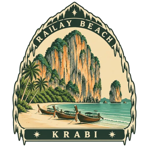
Railay Beach 30 km
A small peninsula between Krabi town and Ao Nang, cut off from the mainland by limestone cliffs, so the only way in is by boat. Climbers come from all over the world for the cliffs, and the beaches of Phra Nang, West and East Railay and Ton Sai lie beneath them.
Ao Nang 34 km
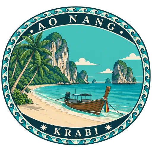
A resort town on the Krabi coast, one of the ten subdistricts of Mueang Krabi, its beach framed by tall limestone cliffs. Long-tail boats leave straight from the sand for Railay and the islands offshore.
Ko Lanta 35 km
The main island of the Lanta archipelago, lying in the Andaman Sea between the Phi Phi Islands and the Krabi mainland. A string of long, quiet beaches runs down its west coast, and together with neighbouring Ko Lanta Noi it makes up a district of its own.
Ko Yao Yai 37 km
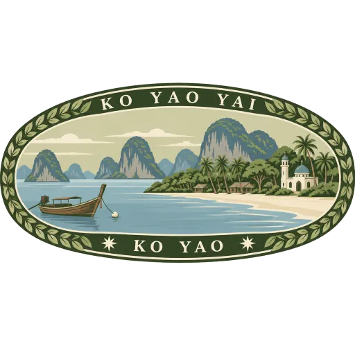
The larger of the two long islands in the middle of Phang Nga Bay, its name meaning big long island. Most of its people are Muslim fishing and farming families, and it is quieter and less developed than its smaller twin, Ko Yao Noi, to the north.



More hidden gems in Krabi
Questions
Where is Ko Phi Phi Don?
Ko Phi Phi Don is in Krabi, Krabi, Thailand. The nearest other LOQAH stamps are Ko Phi Phi Le (7.0 km), Maya Bay (7.7 km), Ko Jum (23 km).
How do I get the Ko Phi Phi Don stamp?
Open LOQAH when you are at Ko Phi Phi Don and get its stamp. The app checks where you are once, at that moment, and the stamp goes into your Krabi volume, confirmed on site, with the date.
I have been to Ko Phi Phi Don before. Can I still have the stamp?
Yes. Add it from Earlier trips in your Krabi volume, with the date if you know it, or import your Google Timeline and LOQAH matches the places you were.
Collect your first stamp.
LOQAH is free on iPhone and Android, in India and 20 more countries, with more countries on the way. Stand at a place, collect its stamp, and keep every trip in a passport that grows.