

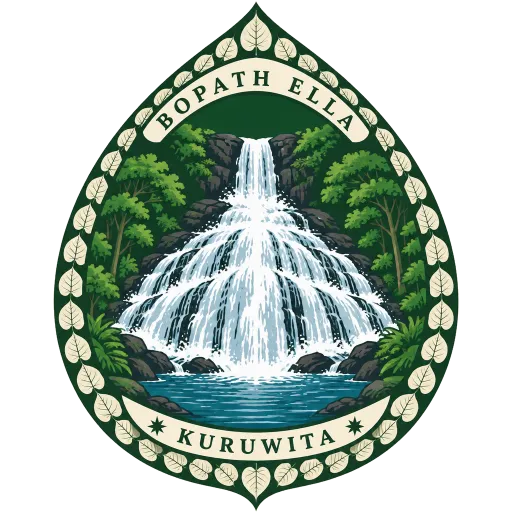
Bopath Ella
A waterfall in Ratnapura District whose fan of water takes the shape of a leaf of the sacred bo tree, which gives it its name. Local stories say it is haunted and that it hides a hoard of treasure.
- Where
- Kuruwita, Sabaragamuwa, Sri Lanka
- Grade
- Local gem
- Worth
- 10 points collected on site
- Coordinates
- 6.8000, 80.3667
Get the Bopath Ella stamp
Open LOQAH when you are at Bopath Ella. It checks where you are once, at that moment, and the stamp is yours: confirmed on site in gold and struck with the date. It goes into your Sabaragamuwa volume with your photos and a note.
Near Bopath Ella
Maha Saman Devalaya 12 km
The great shrine at Ratnapura to the god Saman, presiding deity of Sri Pada, the mountain where a footprint is held to be the Buddha's. That peak is also called Samanthakuta, the mountain of Saman, and this temple in the town below is his chief seat.
Adam's Peak 15 km
A 2,243 metre cone of a mountain topped by Sri Pada, a footprint shaped hollow in the rock. Buddhists hold it to be the Buddha's footprint, Hindus that of Shiva, and others Adam's; pilgrims climb thousands of steps through the night to reach the top by dawn.
Kitulgala 27 km
A small town on the Kelani River where The Bridge on the River Kwai was filmed, though only the concrete footings of the bridge remain. These days it is the base for white water rafting, which starts a few kilometres upstream.
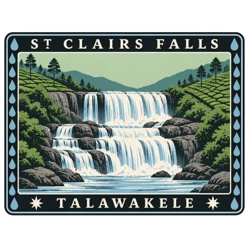
St. Clair's Falls 35 km
One of the widest waterfalls in Sri Lanka, falling in broad tiers through the tea estates near Talawakele. Its width has earned it the nickname the Little Niagara of Sri Lanka.
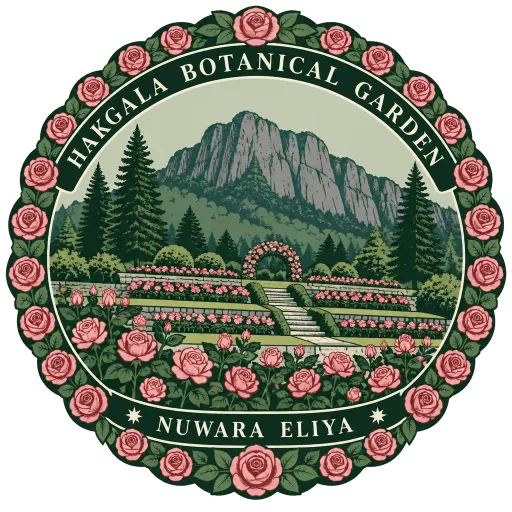
Hakgala Botanical Garden 46 km
The second largest of Sri Lanka's five botanical gardens, laid out on the slopes below Hakgala rock outside Nuwara Eliya. Its cool terraces are planted with roses and temperate flowers, and its edge runs straight into the Hakgala Strict Nature Reserve.
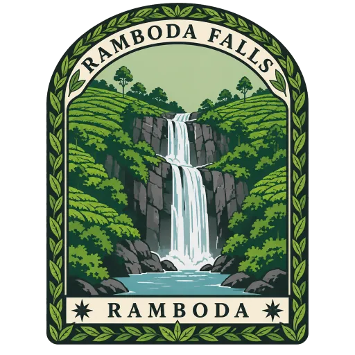
Ramboda Falls 47 km
A 109 metre waterfall at the Ramboda Pass on the A5 road between Kandy and Nuwara Eliya. It is formed by the Panna Oya, a tributary of the Kothmale Oya, and falls from about 945 metres above sea level through tea country.
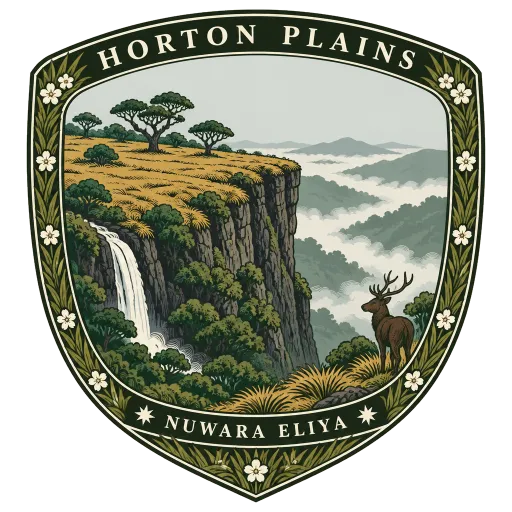
Horton Plains National Park 48 km
A high plateau of grassland and cloud forest at 2,100 to 2,300 metres, made a national park in 1988 and rich in species found nowhere else. Walkers cross it to Baker's Falls and to World's End, where the plateau drops away in a sheer cliff.
Victoria Park 48 km
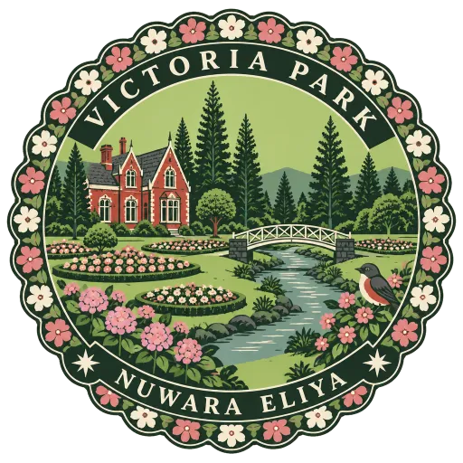
A public park in the middle of Nuwara Eliya, next to the town's old post office. Its lawns, flower beds and stream are typical of the hill town the British built as a cool retreat, and it is a quiet place to watch birds.
More hidden gems in Sabaragamuwa
Questions
Where is Bopath Ella?
Bopath Ella is in Kuruwita, Sabaragamuwa, Sri Lanka. The nearest other LOQAH stamps are Maha Saman Devalaya (12 km), Adam's Peak (15 km), Kitulgala (27 km).
How do I get the Bopath Ella stamp?
Open LOQAH when you are at Bopath Ella and get its stamp. The app checks where you are once, at that moment, and the stamp goes into your Sabaragamuwa volume, confirmed on site, with the date.
I have been to Bopath Ella before. Can I still have the stamp?
Yes. Add it from Earlier trips in your Sabaragamuwa volume, with the date if you know it, or import your Google Timeline and LOQAH matches the places you were.
Collect your first stamp.
LOQAH is free on iPhone and Android, in India and 20 more countries, with more countries on the way. Stand at a place, collect its stamp, and keep every trip in a passport that grows.