

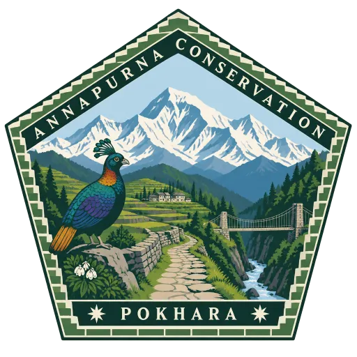
Annapurna Conservation Area
Nepal's largest protected area, 7,629 square kilometres of the Annapurna range across five districts, rising from 790 metres to the 8,091 metre summit of Annapurna I. The Annapurna Circuit and the trail to the Annapurna Sanctuary both run through it.
- Where
- Pokhara, Gandaki, Nepal
- Grade
- Local gem
- Worth
- 10 points collected on site
- Coordinates
- 28.7833, 83.9667
Get the Annapurna Conservation Area stamp
Open LOQAH when you are at Annapurna Conservation Area. It checks where you are once, at that moment, and the stamp is yours: confirmed on site in gold and struck with the date. It goes into your Gandaki volume with your photos and a note.
Near Annapurna Conservation Area
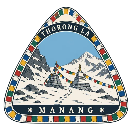
Thorong La 2.9 km
A 5,416 metre mountain pass between Manang and Muktinath, the highest point on the Annapurna Circuit. Trekkers usually cross at first light, and local traders still use the route.
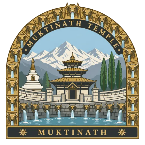
Muktinath Temple 10 km
An ancient Vishnu temple at 3,800 metres in Mustang, at the foot of the Thorong La, and one of the highest temples in the world. Hindus revere it as an abode of Vishnu, Buddhists as a seat of Avalokiteshvara, and pilgrims bathe under its 108 water spouts.
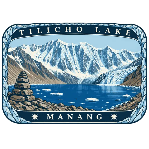
Tilicho Lake 15 km
A glacial lake at around 4,919 metres in Manang, beneath the walls of the Annapurna range and among the highest lakes of its size in the world. Its cold water had no recorded aquatic life as of 2003.
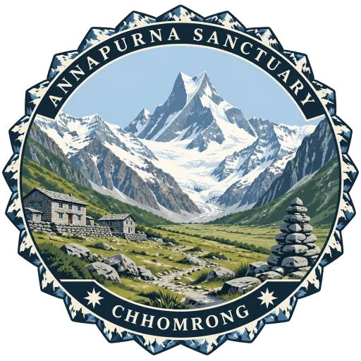
Annapurna Sanctuary 29 km
A high glacial basin 40 km north of Pokhara, above 4,000 metres and ringed by peaks mostly over 7,000 metres. The only way in is a narrow gorge between Hiunchuli and Machhapuchhre, and in high summer the walls allow only seven hours of sun a day.
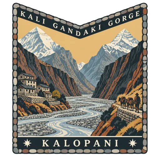
Kali Gandaki Gorge 32 km
The gorge the Kali Gandaki has cut between Dhaulagiri and Annapurna, by some measures one of the deepest in the world. The river runs through it from Mustang toward the south, with an 8,000 metre peak on either side.
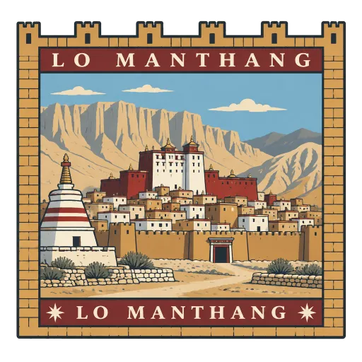
Lo Manthang 44 km
The walled capital of the old kingdom of Lo, at the northern end of Mustang close to the Tibetan border. Inside its mud-brick walls are a royal palace and centuries-old Tibetan Buddhist monasteries in a dry, wind-carved landscape.
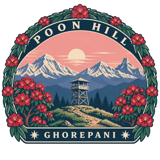
Poon Hill 50 km
A lookout above Ghorepani, on the border of Myagdi and Kaski, where trekkers climb before dawn for sunrise over the Annapurna and Dhaulagiri ranges. Dhaulagiri, Annapurna I, Annapurna South and Machhapuchhre all stand in a single sweep.
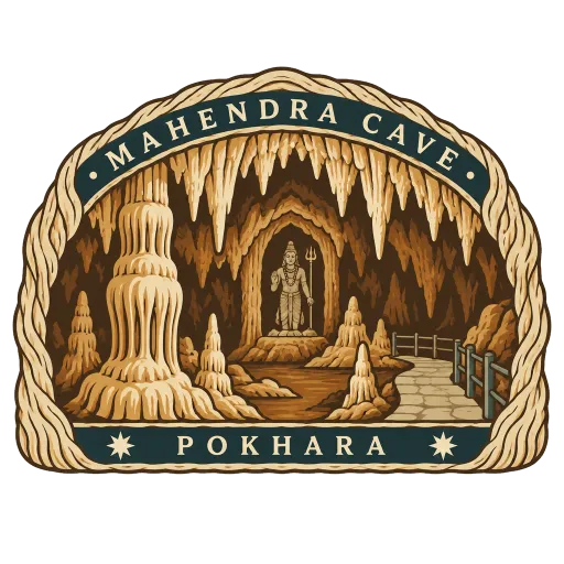
Mahendra Cave 57 km
A large limestone cave at Batulechaur on the northern edge of Pokhara, near the Kali Khola. It is one of the few caves in Nepal with stalactites and stalagmites, and a statue of Shiva stands inside.
More hidden gems in Gandaki
Questions
Where is Annapurna Conservation Area?
Annapurna Conservation Area is in Pokhara, Gandaki, Nepal. The nearest other LOQAH stamps are Thorong La (2.9 km), Muktinath Temple (10 km), Tilicho Lake (15 km).
How do I get the Annapurna Conservation Area stamp?
Open LOQAH when you are at Annapurna Conservation Area and get its stamp. The app checks where you are once, at that moment, and the stamp goes into your Gandaki volume, confirmed on site, with the date.
I have been to Annapurna Conservation Area before. Can I still have the stamp?
Yes. Add it from Earlier trips in your Gandaki volume, with the date if you know it, or import your Google Timeline and LOQAH matches the places you were.
Collect your first stamp.
LOQAH is free on iPhone and Android, in India and 20 more countries, with more countries on the way. Stand at a place, collect its stamp, and keep every trip in a passport that grows.