

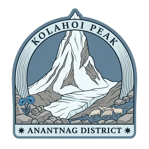
Kolahoi Peak
The highest peak wholly in Kashmir, above the Lidder, and its glacier is going.
- Where
- Anantnag, Jammu & Kashmir, India
- Grade
- Local gem
- Worth
- 10 points collected on site
- Coordinates
- 34.1658, 75.3286
Get the Kolahoi Peak stamp
Open LOQAH when you are at Kolahoi Peak. It checks where you are once, at that moment, and the stamp is yours: confirmed on site in gold and struck with the date. It goes into your Jammu & Kashmir volume with your photos and a note.
Near Kolahoi Peak
Aru Valley 10 km
Where the Kolahoi treks begin.
Betaab Valley 13 km
Named after a film, and it has not stopped.
Pahalgam 15 km
Where the Lidder valley opens out, the starting point for the Amarnath walk and for most Kashmiri trekking.
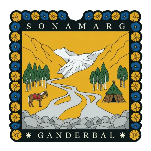
Sonamarg 15 km
The meadow of gold, and the start of the Zoji La road.
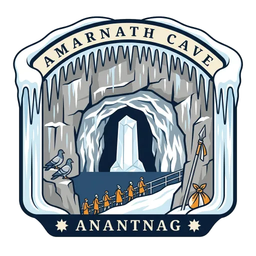
Amarnath Cave 17 km
An ice lingam, and the hardest yatra in the country.
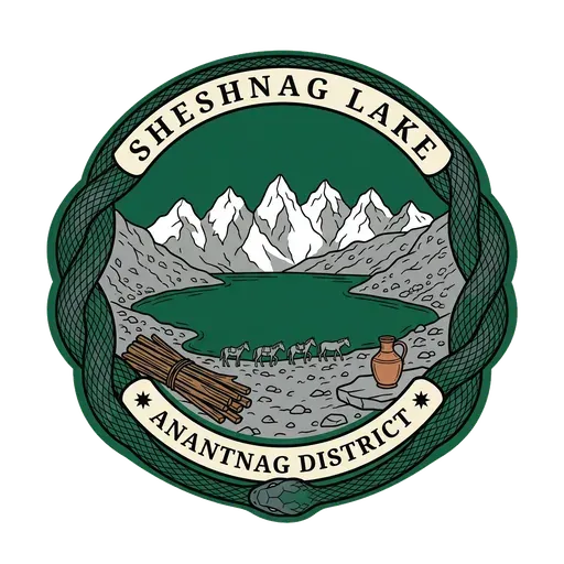
Sheshnag Lake 17 km
A green lake on the Amarnath yatra route, named for the serpent said to live in it.
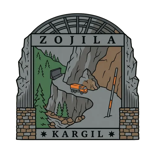
Zoji La 18 km
The gate between Kashmir and Ladakh.
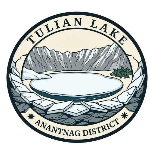
Tulian Lake 21 km
A lake above Pahalgam, frozen most of the year, at the foot of the Zanskar range.
More hidden gems in Jammu & Kashmir
Questions
Where is Kolahoi Peak?
Kolahoi Peak is in Anantnag, Jammu & Kashmir. The nearest other LOQAH stamps are Aru Valley (10 km), Betaab Valley (13 km), Pahalgam (15 km).
How do I get the Kolahoi Peak stamp?
Open LOQAH when you are at Kolahoi Peak and get its stamp. The app checks where you are once, at that moment, and the stamp goes into your Jammu & Kashmir volume, confirmed on site, with the date.
I have been to Kolahoi Peak before. Can I still have the stamp?
Yes. Add it from Earlier trips in your Jammu & Kashmir volume, with the date if you know it, or import your Google Timeline and LOQAH matches the places you were.
Collect your first stamp.
LOQAH is free on iPhone and Android, in India and 20 more countries, with more countries on the way. Stand at a place, collect its stamp, and keep every trip in a passport that grows.