

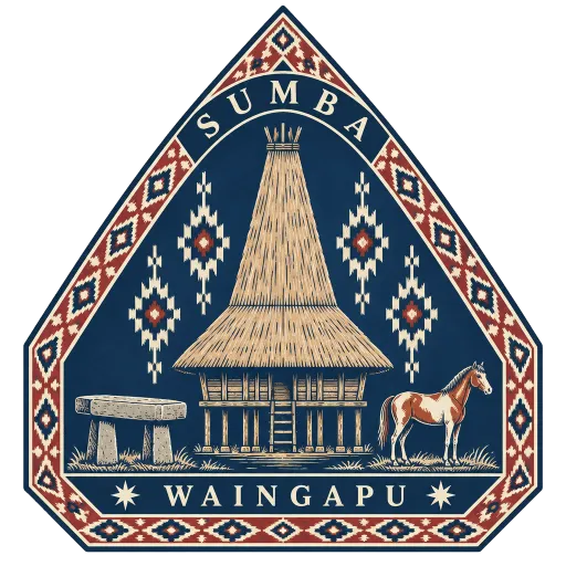
Sumba
An island of about 10,900 square kilometres in eastern Indonesia, roughly the size of Jamaica. Its villages keep tall-roofed clan houses and great stone tombs, and in the west it holds the Pasola, a mock battle fought on horseback.
- Where
- Waingapu, East Nusa Tenggara, Indonesia
- Grade
- Well known
- Worth
- 10 points collected on site, plus 1 for its grade
- Coordinates
- -9.7283, 120.0011
Get the Sumba stamp
Open LOQAH when you are at Sumba. It checks where you are once, at that moment, and the stamp is yours: confirmed on site in gold and struck with the date. It goes into your East Nusa Tenggara volume with your photos and a note.
Near Sumba
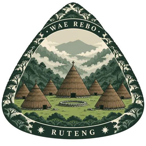
Wae Rebo 111 km
A Manggarai village 1,200 metres up in the mountains of western Flores, reached on foot through the forest. Its seven cone-shaped mbaru niang houses, thatched to the ground, won a UNESCO Asia Pacific heritage conservation award in 2012.
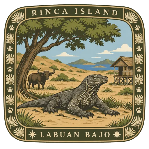
Rinca Island 120 km
One of the three largest islands of Komodo National Park, close to Flores. Rangers lead walks through its dry hills to see Komodo dragons, which can reach 3 metres in length, along with wild pigs, buffalo and many birds.
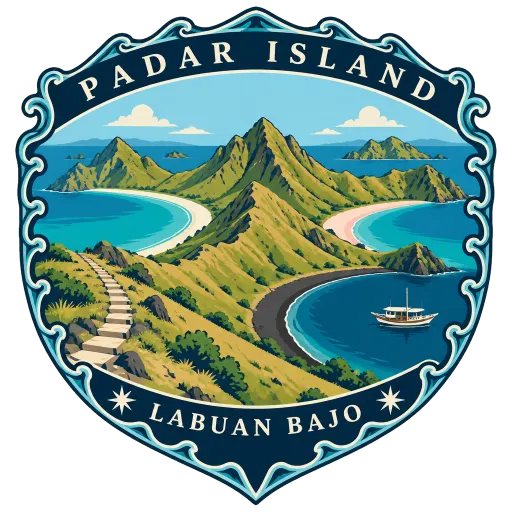
Padar Island 128 km
The third largest island in Komodo National Park, lying between Komodo and Rinca. A short, steep climb leads to a viewpoint over a ridge of bare hills and curving bays, with beaches of white, black and pink sand.
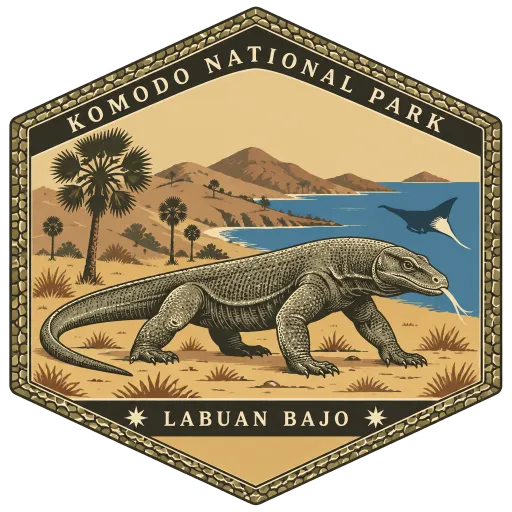
Komodo National Park 128 km
A national park of three large islands, Komodo, Padar and Rinca, and 26 smaller ones, founded in 1980 to protect the Komodo dragon, the world's largest lizard. It now guards the surrounding sea as well, and has been a World Heritage Site since 1991.
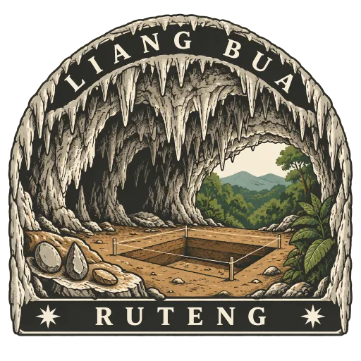
Liang Bua 142 km
A limestone cave just north of Ruteng in western Flores, first explored by the Dutch missionary and archaeologist Theodor Verhoeven. In 2003 it yielded the bones of Homo floresiensis, the small extinct human nicknamed the hobbit.
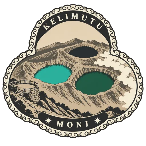
Kelimutu 226 km
A volcano in central Flores, about 50 kilometres east of Ende, crowned by three crater lakes of different colours. The lakes shift between blue, green, red and black as the chemistry of the volcano changes, and local belief holds them to be resting places of souls.
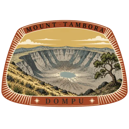
Mount Tambora 275 km
An active volcano on Sumbawa whose eruption in 1815 was the largest in recorded history. It left a vast caldera, and its effect on the climate made 1816 the Year Without a Summer far away in Europe and North America.
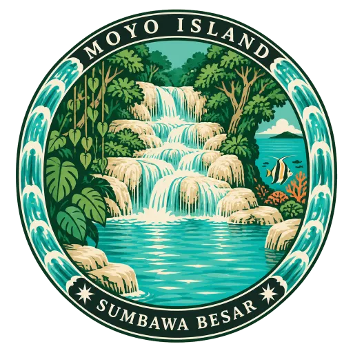
Moyo Island 315 km
A forested island off the north coast of Sumbawa, much of it a nature reserve. Inland are waterfalls with clear pools, and the reefs off its shore draw divers and snorkellers.
Questions
Where is Sumba?
Sumba is in Waingapu, East Nusa Tenggara, Indonesia. The nearest other LOQAH stamps are Wae Rebo (111 km), Rinca Island (120 km), Padar Island (128 km).
How do I get the Sumba stamp?
Open LOQAH when you are at Sumba and get its stamp. The app checks where you are once, at that moment, and the stamp goes into your East Nusa Tenggara volume, confirmed on site, with the date.
I have been to Sumba before. Can I still have the stamp?
Yes. Add it from Earlier trips in your East Nusa Tenggara volume, with the date if you know it, or import your Google Timeline and LOQAH matches the places you were.
Collect your first stamp.
LOQAH is free on iPhone and Android, in India and 20 more countries, with more countries on the way. Stand at a place, collect its stamp, and keep every trip in a passport that grows.