

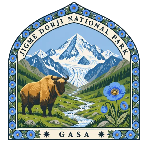
Jigme Dorji National Park
The second largest national park in Bhutan, named after the late king Jigme Dorji Wangchuck. It runs across the high northwest of the country, from forests to glaciers and the peaks around Jomolhari, and is crossed by the Jomolhari and Laya treks.
- Where
- Gasa, Gasa, Bhutan
- Grade
- Heritage site
- Worth
- 10 points collected on site, plus 3 for its grade
- Coordinates
- 27.7500, 89.5167
Get the Jigme Dorji National Park stamp
Open LOQAH when you are at Jigme Dorji National Park. It checks where you are once, at that moment, and the stamp is yours: confirmed on site in gold and struck with the date. It goes into your Gasa volume with your photos and a note.
Near Jigme Dorji National Park
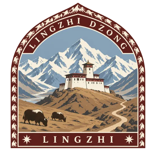
Lingzhi Dzong 14 km
A Drukpa Kagyu monastery and administrative centre at 4,150 metres in Lingzhi, in the far north of Thimphu District. About thirty monks live in the dzong, which also holds the local administrator's office, and it is reached only on foot along the trekking routes.
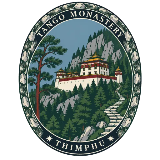
Tango Monastery 21 km
A monastery 14 kilometres north of Thimphu near Cheri Mountain, founded in the 13th century and rebuilt in its present form by Tenzin Rabgye in 1688. Zhabdrung Ngawang Namgyal meditated in its cave in 1616, and its chief deity is the wrathful Hayagriva.
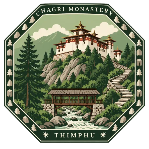
Chagri Monastery 21 km
A monastery high above the head of the Thimphu valley, founded in 1620 by Zhabdrung Ngawang Namgyal, the founder of the Bhutanese state. It is reached on foot from the road end, crossing a covered bridge over the river before the climb.
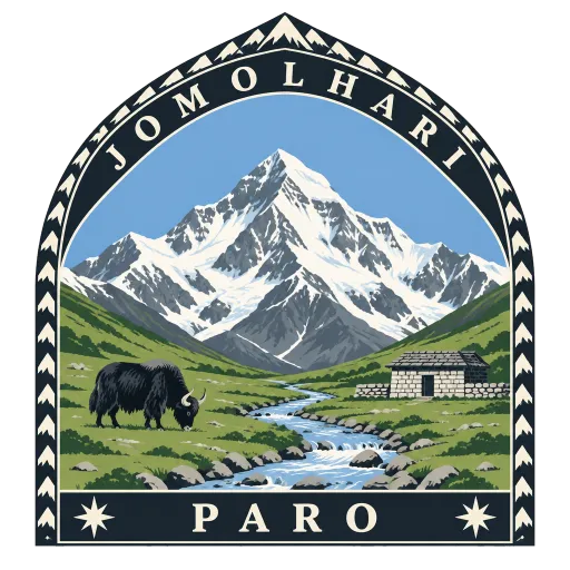
Jomolhari 26 km
A great Himalayan peak on the northern frontier of Bhutan, sometimes called the bride of Kangchenjunga. Its north face rises more than 2,700 metres above the plains, and its southern side feeds the Paro Chu; trekkers see it from the meadows of Jangothang.
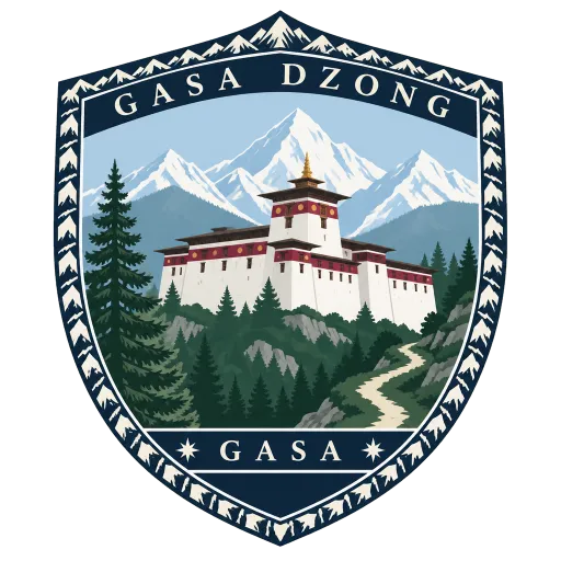
Gasa Dzong 27 km
The administrative centre of Gasa District in Bhutan's northwest, built in the 17th century by Tenzin Drukdra over a 13th century meditation place. It was raised as a bulwark against attacks from the north and later expanded by Gyalse Tenzin Rabgye.
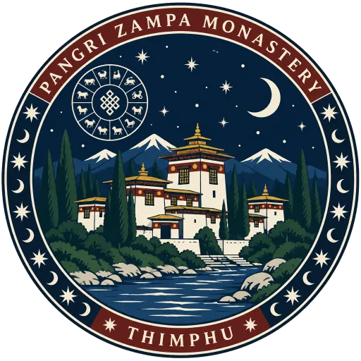
Pangri Zampa Monastery 28 km
A Buddhist monastery just north of Thimphu that serves as a college of Bhutanese astrology. Monks here study the traditional calculations used across the kingdom to read the calendar and the stars.
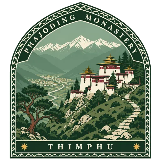
Phajoding Monastery 29 km
A monastery high on the slopes above Thimphu, founded in the 13th century by the Tibetan lama Phajo Drugom Zhigpo, who brought the Drukpa Kagyu teachings to Bhutan. Most of its buildings date from 1748, and the climb up from the city takes a few hours.
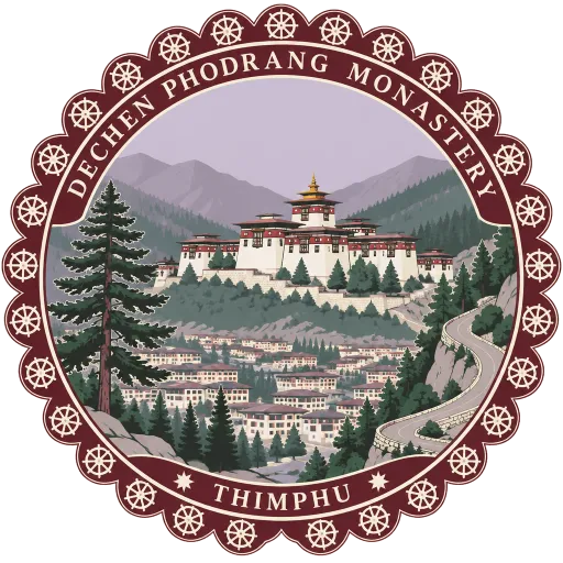
Dechen Phodrang Monastery 30 km
A Buddhist monastery at the northern end of Thimphu whose name means Palace of Great Bliss. It sits above the city at the head of the valley road and today serves as a monastic school for young monks.
Questions
Where is Jigme Dorji National Park?
Jigme Dorji National Park is in Gasa, Gasa, Bhutan. The nearest other LOQAH stamps are Lingzhi Dzong (14 km), Tango Monastery (21 km), Chagri Monastery (21 km).
How do I get the Jigme Dorji National Park stamp?
Open LOQAH when you are at Jigme Dorji National Park and get its stamp. The app checks where you are once, at that moment, and the stamp goes into your Gasa volume, confirmed on site, with the date.
I have been to Jigme Dorji National Park before. Can I still have the stamp?
Yes. Add it from Earlier trips in your Gasa volume, with the date if you know it, or import your Google Timeline and LOQAH matches the places you were.
Collect your first stamp.
LOQAH is free on iPhone and Android, in India and 20 more countries, with more countries on the way. Stand at a place, collect its stamp, and keep every trip in a passport that grows.